- 140 Posts
- 9 Comments


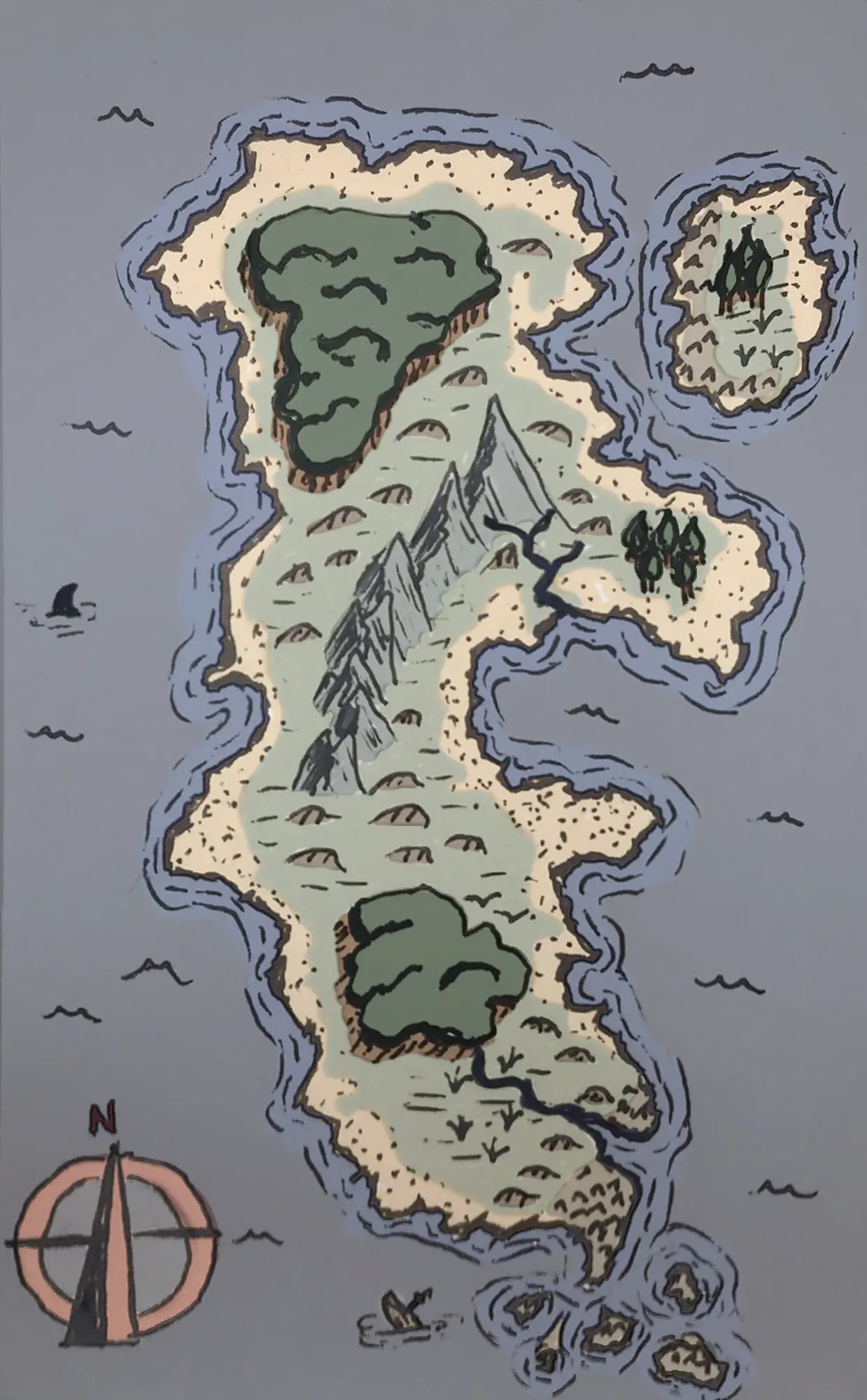
Thanks!
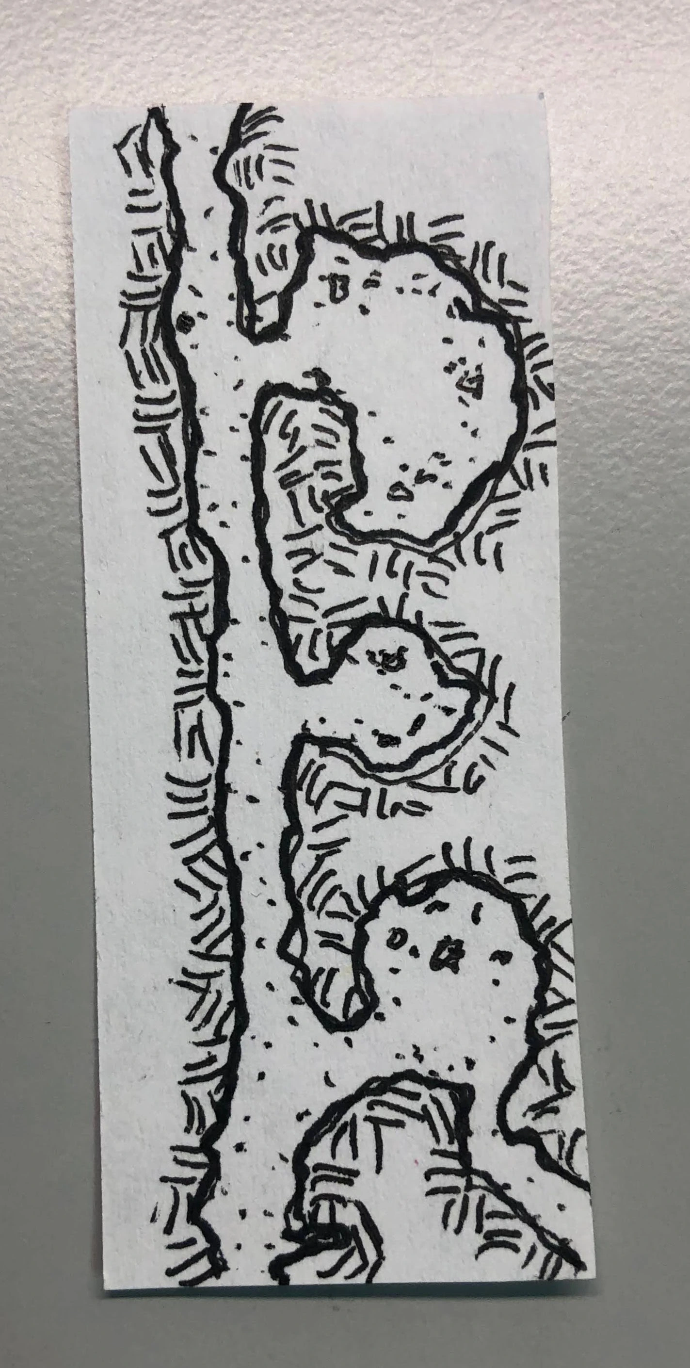
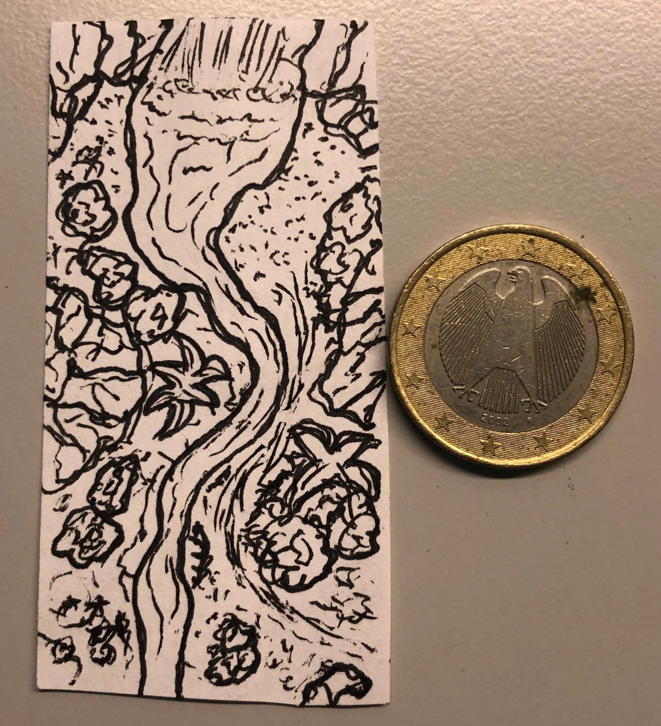
It’s also fun to draw them.
Never considered myself good at drawing, so I imitate a lot. And I think my skills are getting better (or at least less bad XD).
 2·1 month ago
I assume board games are not an option? I’ve played Salem with probably 10 players and it’s quite fun. It will take much less than 6 hours though.
But I don’t want to leave just challenging the question without suggestions, so I’ll ramble on…
I’m thinking very quick character creation (if anything because I have players who are unable to take less than an hour doing so), perhaps something like Mothership or pretty much any PbtA. Or pregens.
Spotlight time will be an issue, so a something with very fast combat mechanics should be very important.
I’m pondering if it’s worth a shot trying something like Dread, but I’m not sure if 6 hours is too long for a game like Dread.
I’m curious: do the 12 of you (+GM) usually play all at the same time?
 2·2 months ago
-------------+--
|..Good luck...|
|.to.@.and.d.!.|
----------------
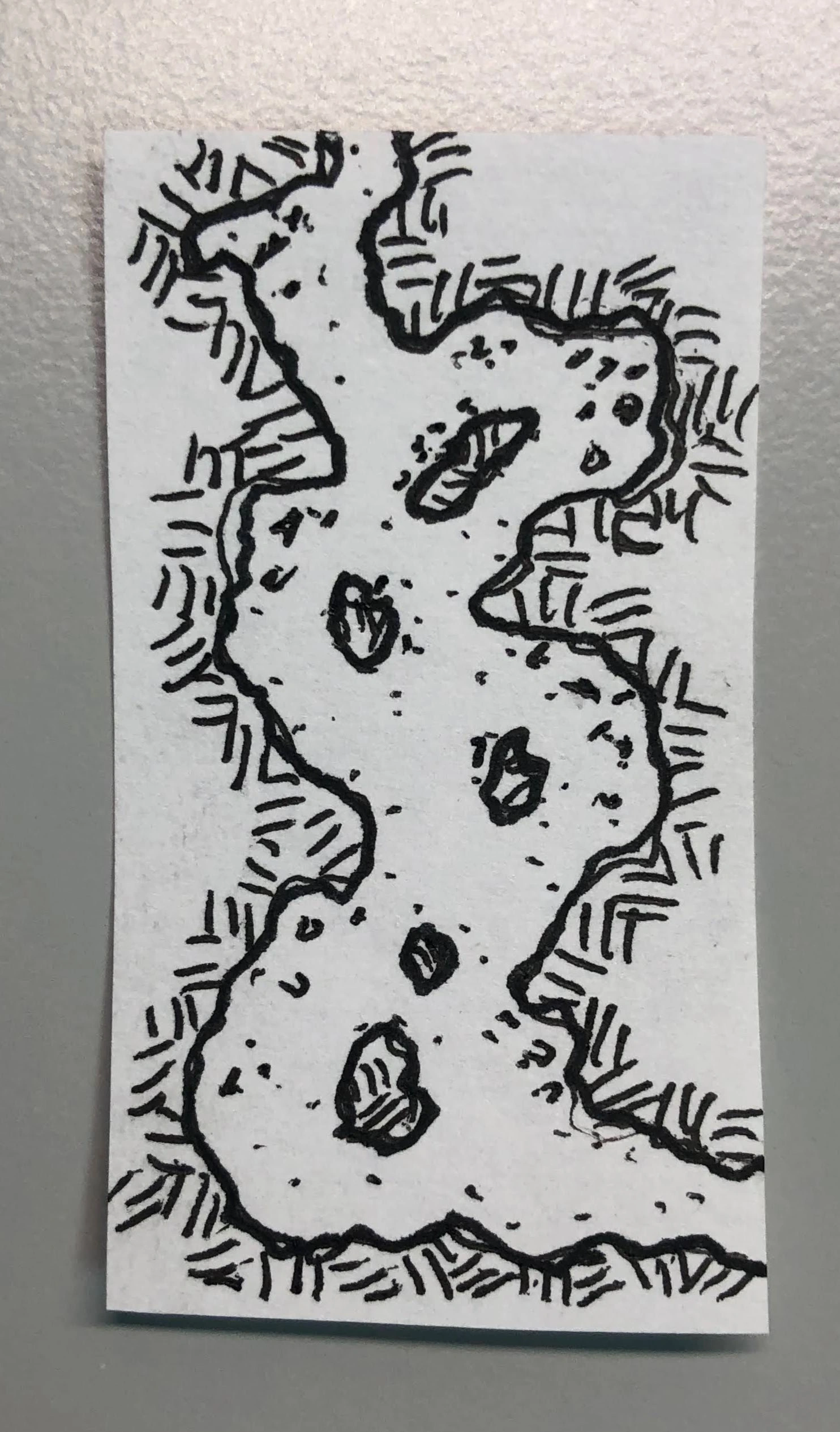
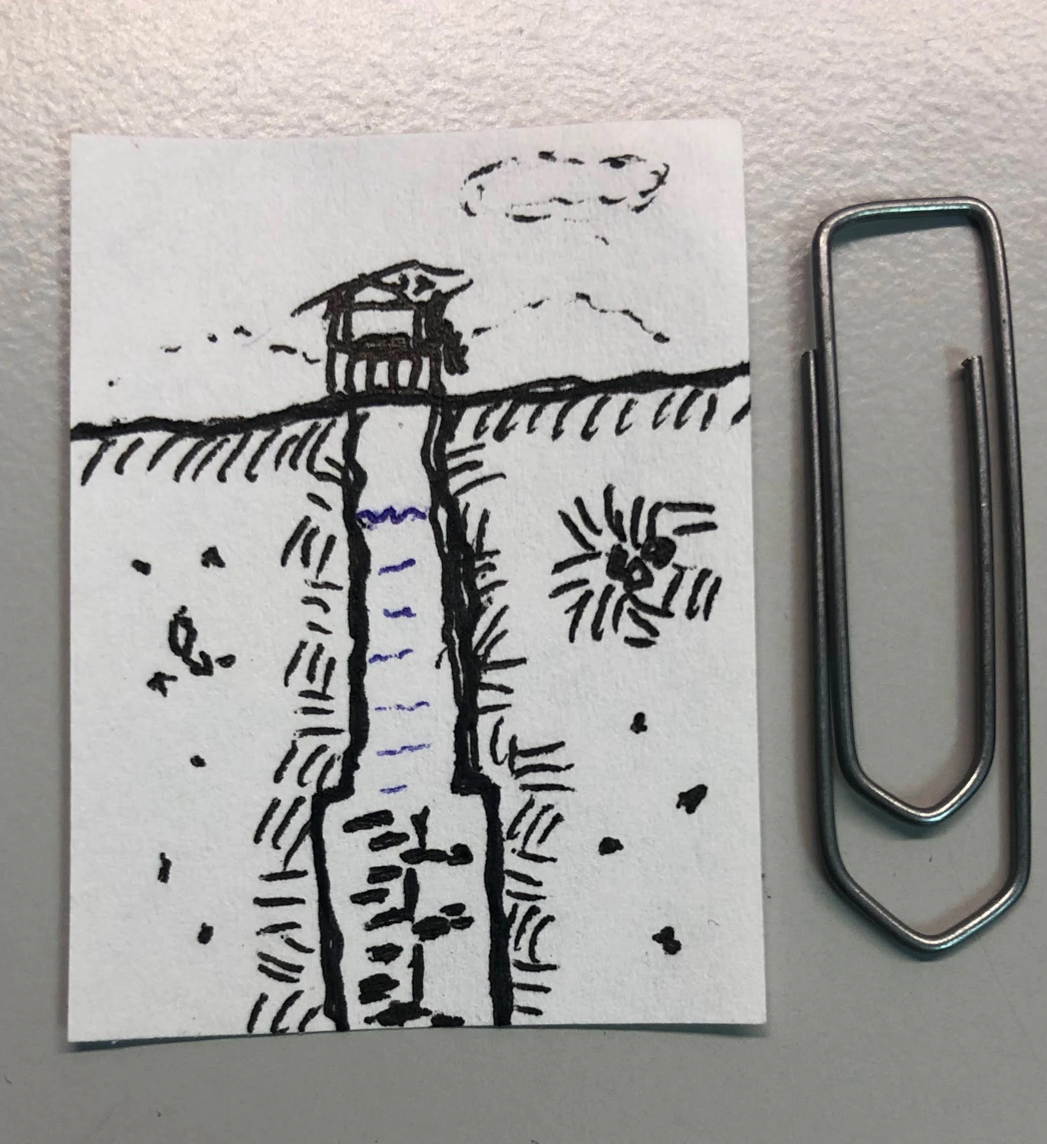
Yeah, shading would have helped.
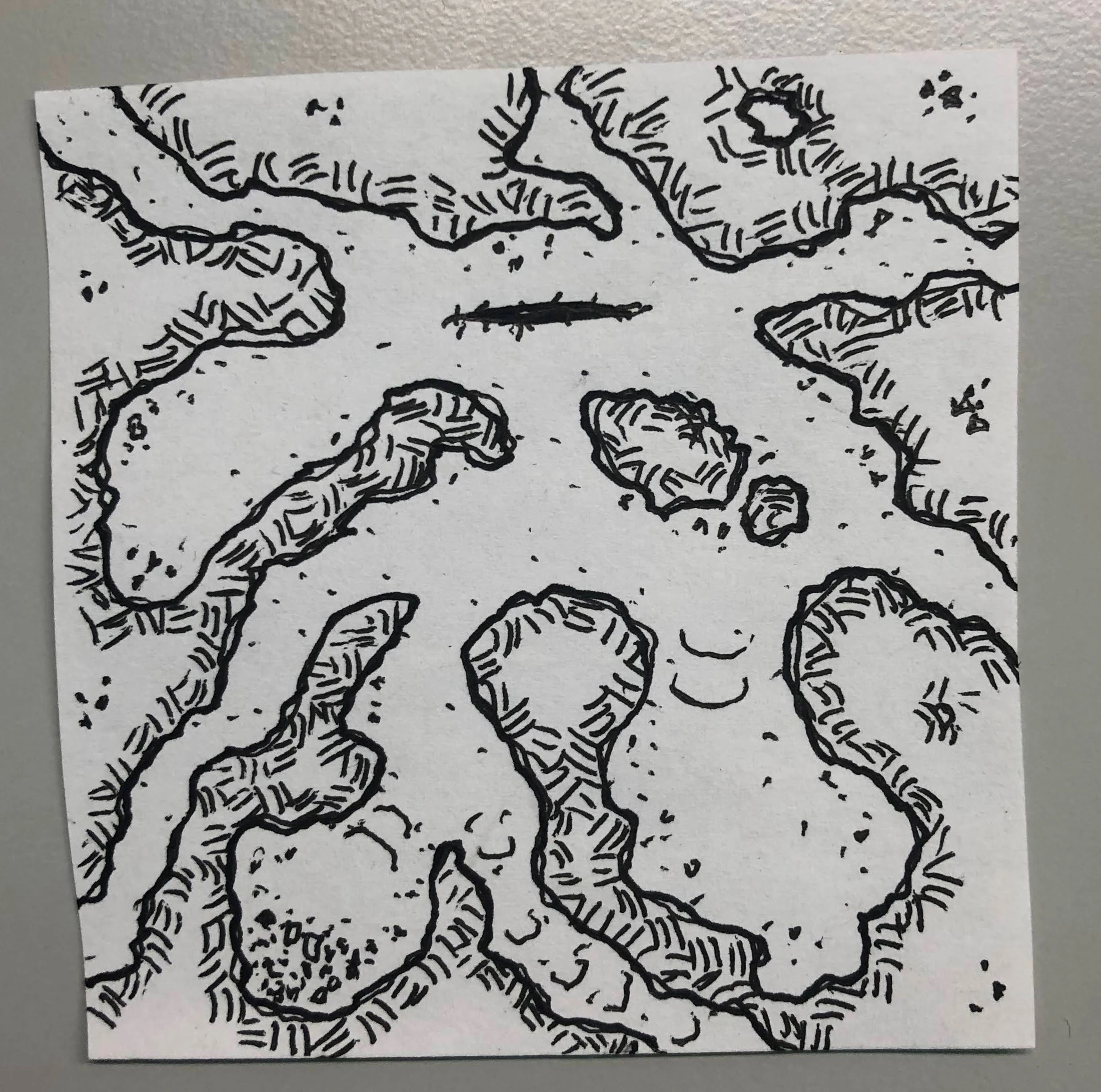
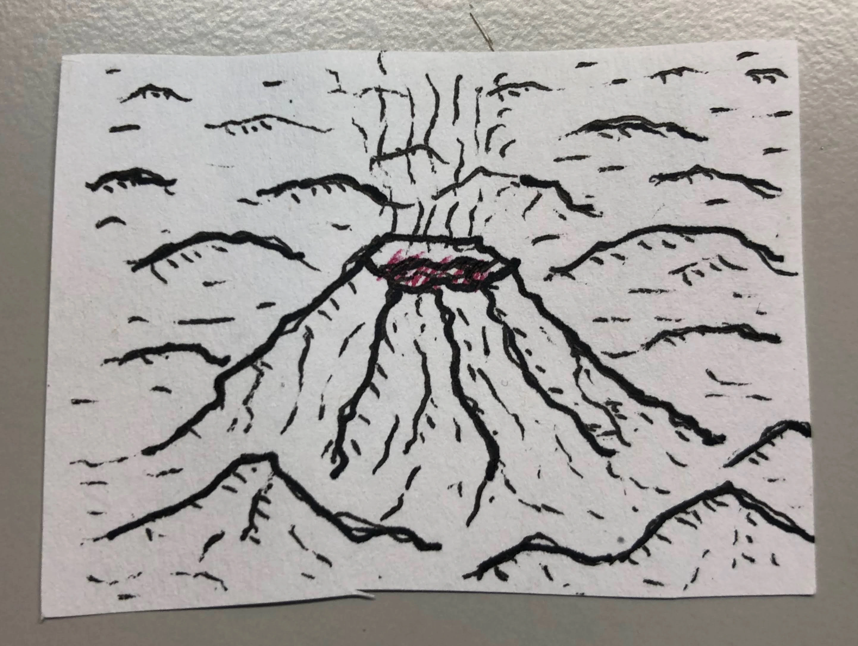
I once read (or maybe watched a video?) saying that most cartographers shade as id the sun were in the upper left of the image. Of course, it’s an artist choice, so many more decide against it. :)
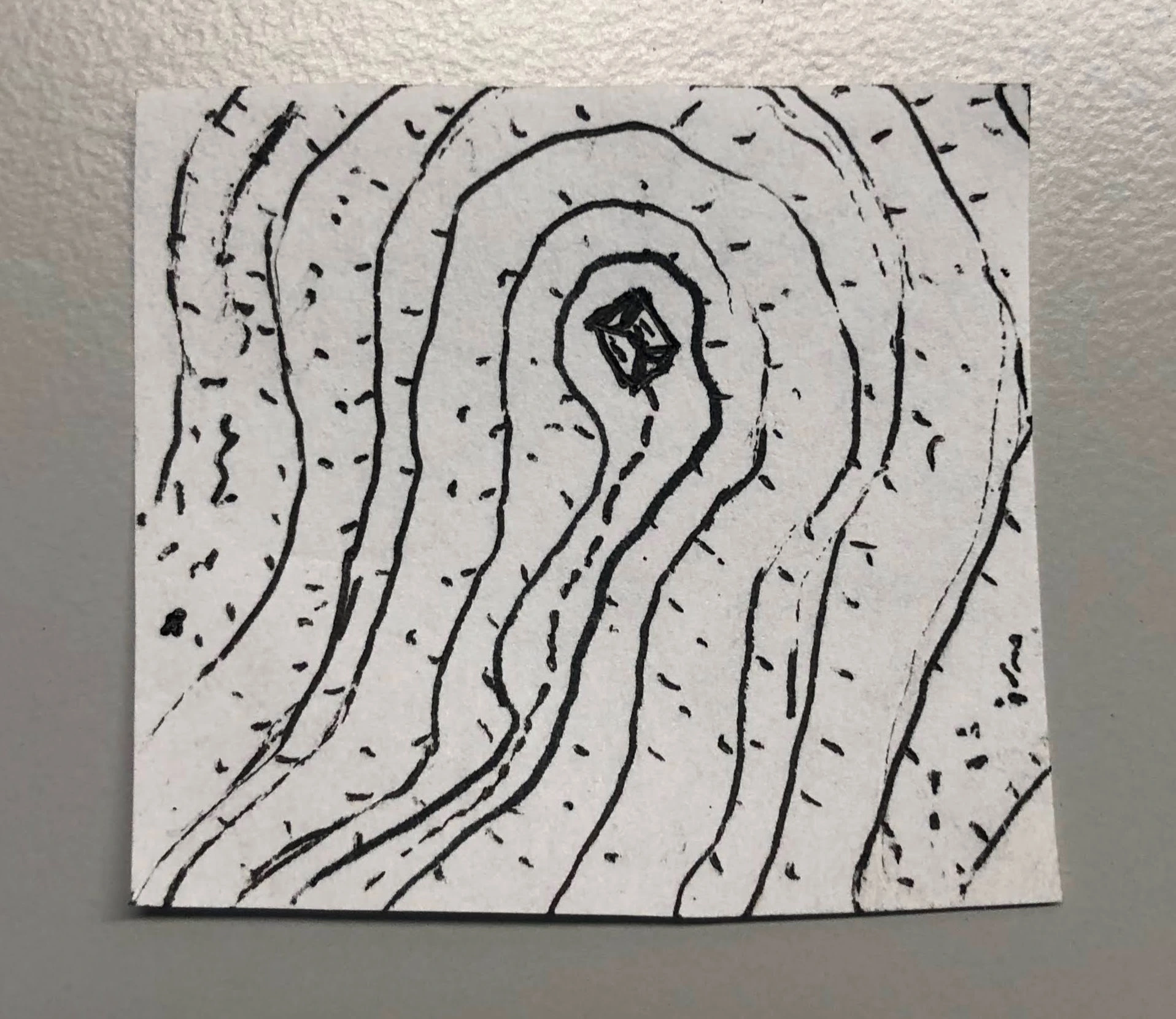
But even if you’re not an astronomy enthusiast, you can open up Google Maps and check out the satellite photo layer. Every now and then, you’ll come across a terrain feature that you can’t easily tell if it’s raised or depressed.
Huh. Didn’t pay much attention myself, but perhaps they meant to convey “availability” instead?
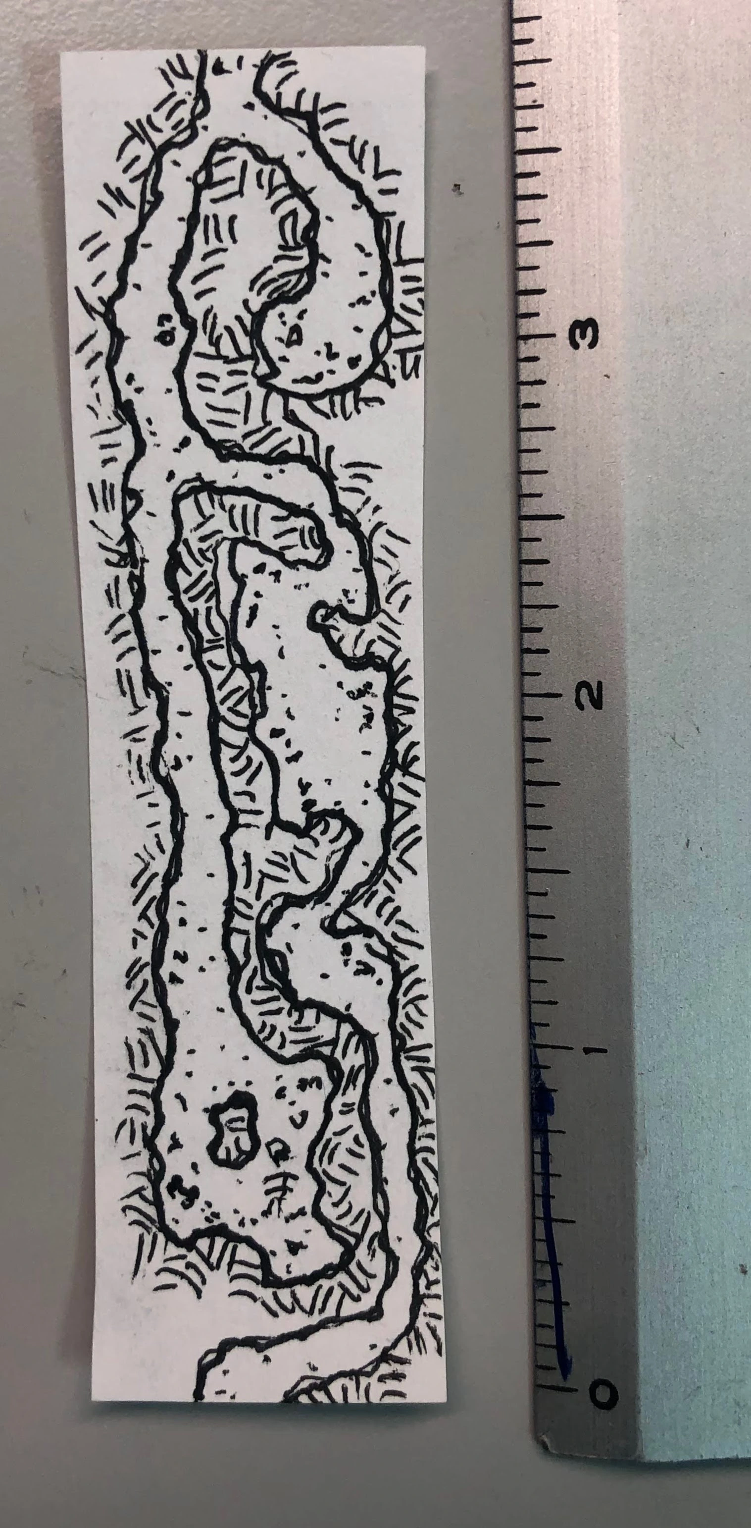
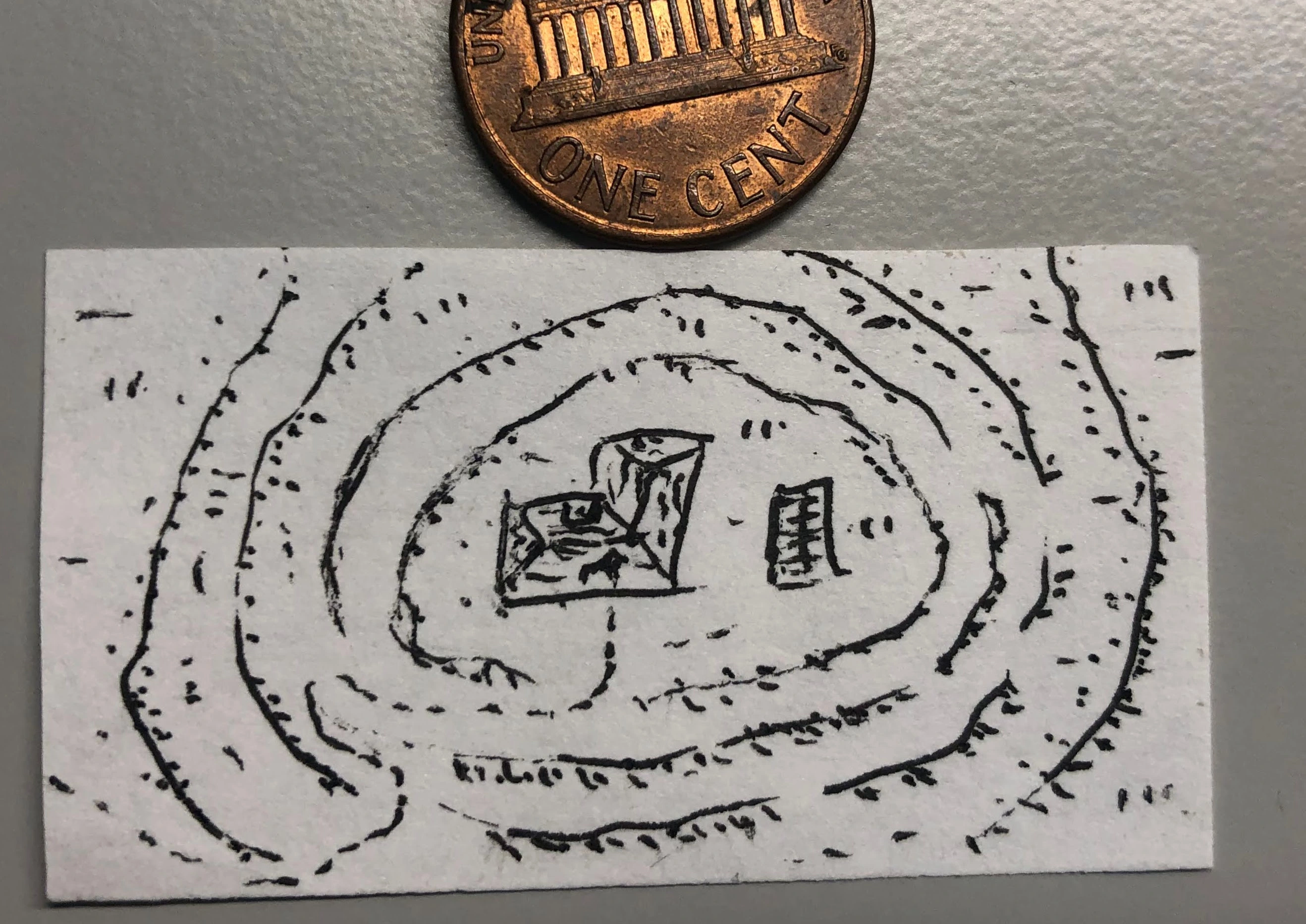
Actual plaster. Diluted.
I don’t know if there are many types, but it’s the one used to fill-in small details or to cover holes left by nails.
Kudos for mentioning Everyone is John.
And since I’m already typing a reply, I might as well link to another obscure RPG (that I haven’t played):
https://rpggeek.com/rpg/104103/boss-dragons-and-scrambled-eggs
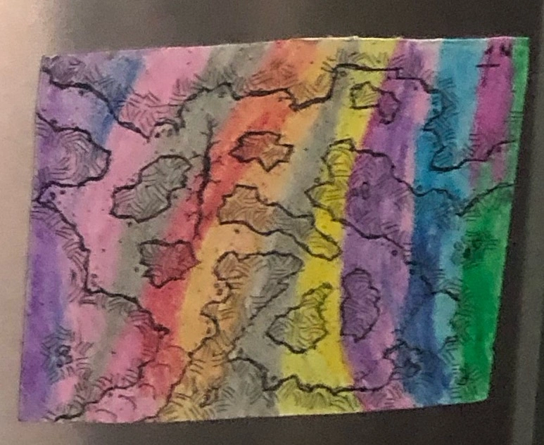
Same thought process on my part. A little bit of laziness might have played a part as well. 😅


Oh, I wish. 😁