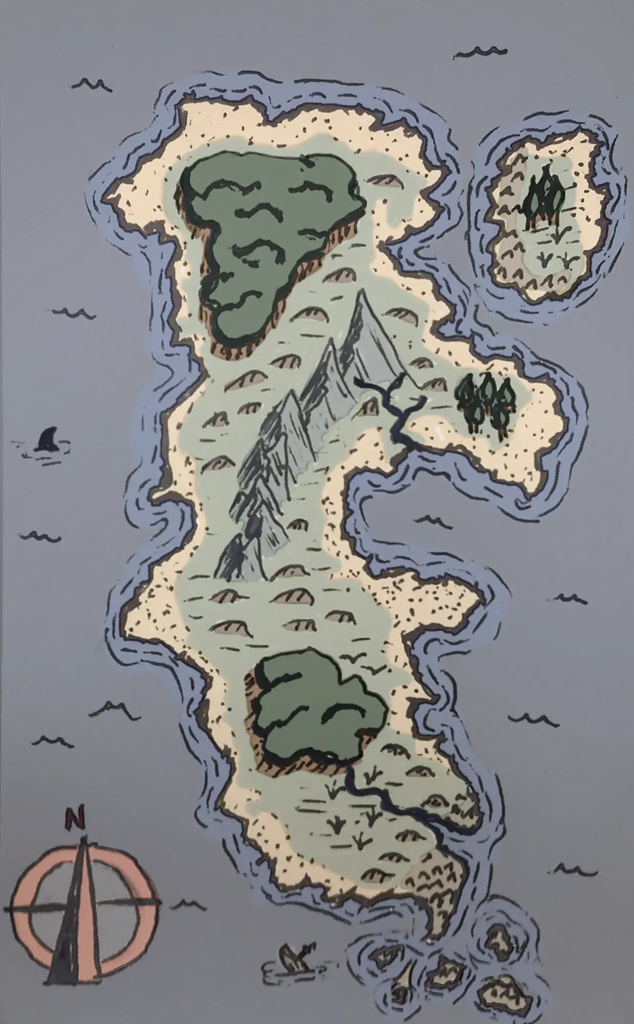
I once read (or maybe watched a video?) saying that most cartographers shade as id the sun were in the upper left of the image. Of course, it’s an artist choice, so many more decide against it. :)
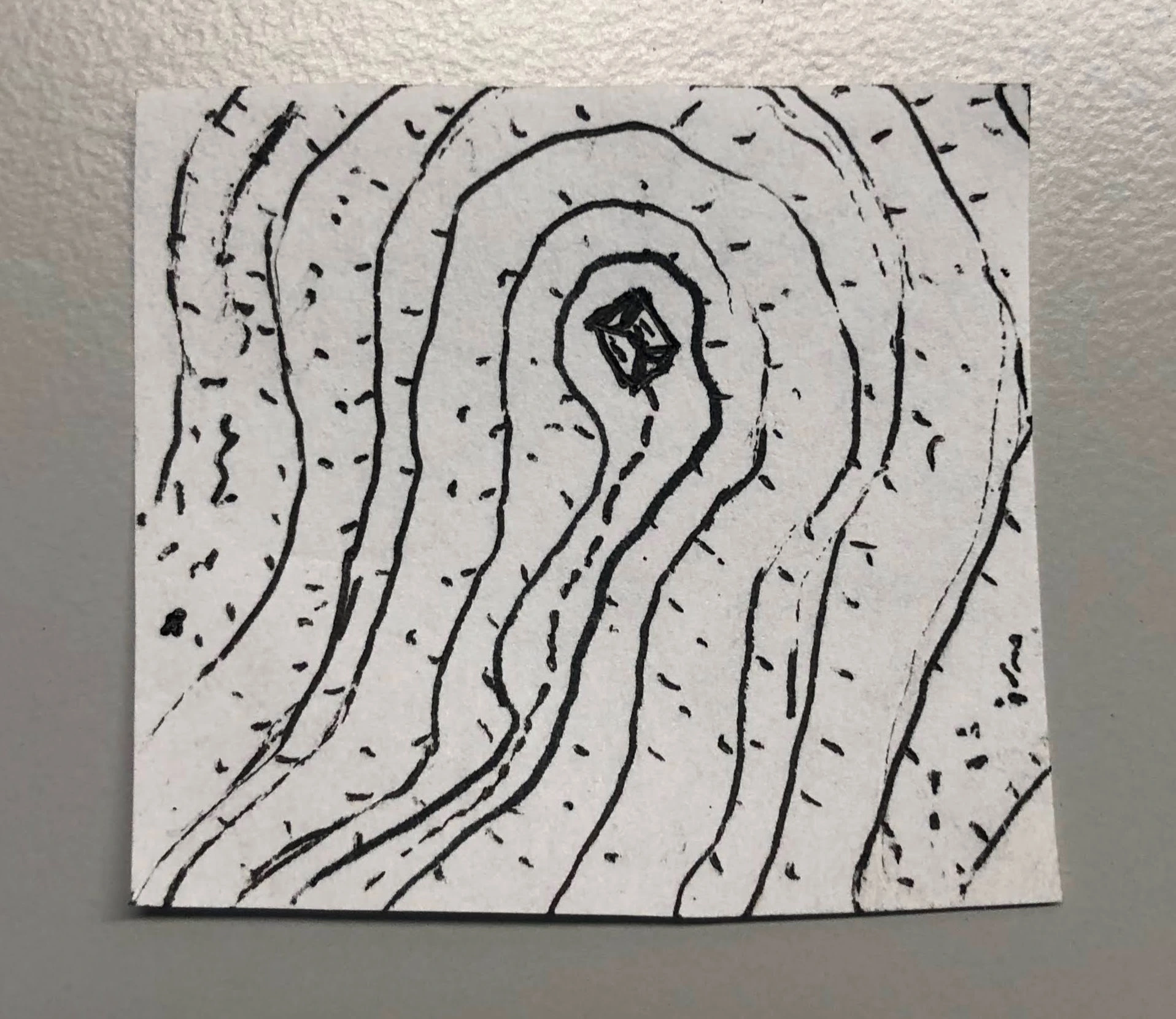
But even if you’re not an astronomy enthusiast, you can open up Google Maps and check out the satellite photo layer. Every now and then, you’ll come across a terrain feature that you can’t easily tell if it’s raised or depressed.

Yeah, shading would have helped.
I once read (or maybe watched a video?) saying that most cartographers shade as id the sun were in the upper left of the image. Of course, it’s an artist choice, so many more decide against it. :)
But even if you’re not an astronomy enthusiast, you can open up Google Maps and check out the satellite photo layer. Every now and then, you’ll come across a terrain feature that you can’t easily tell if it’s raised or depressed.